


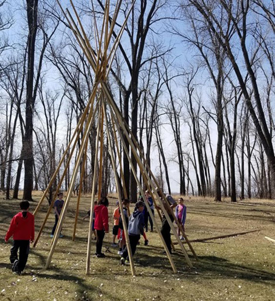
Here at the Lewis & Clark Interpretive Center and Fort Mandan State Historic Site, we host a lot of schools annually. Aside from guided tours of the Interpretive Center and the fort, we create and present educational programs to allow students hands-on learning about some of our site’s topics. Back in 2019, I became a certified interpretive guide through the National Association for Interpretation. To gain my certification I had to create and present a program for our site. I am going to walk you through how I turned my initial idea into a program on mobile mapping.
Step 1: Where do I begin?
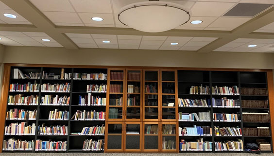
The library at the Lewis & Clark Interpretive Center was a great place to find inspiration for my program.
There are a lot of topics we cover at the Interpretive Center such as the fur trade, agriculture, early Western artists, tribes of the Missouri River, and of course the Lewis and Clark Expedition. I did my best to sift through these to find a topic that struck a chord with me. One of the resources we have in our library is a book titled Atlas of the Lewis and Clark Expedition, which contains copies of the maps of the expedition. I found it wildly interesting that the maps were as detailed as they were, even though the cartographers didn’t always have the necessary time to survey or measure things.
This is when I learned about the art of dead reckoning. When the members of the expedition set off, they only had access to maps of the Missouri River beginning in St. Louis, but these maps all essentially end just west of the confluence of the Missouri and Yellowstone rivers. The captains were tasked with improving on their current maps while also charting new ones all the way to the Pacific. That’s where dead reckoning comes in. A navigational tool that allows you to estimate your location from visual markers passed by during water travel, dead reckoning allows you to adjust your measurements based on your speed or time traveled. William Clark used this practice to create his maps and was incredibly accurate at it; his margin of error was only 60 miles for the entire expedition.
Step 2: I found a topic … now what?
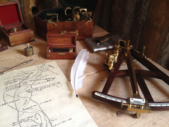
Replica of William Clark’s desk at Fort Mandan State Historic Site. Clark was the cartographer for the expedition and used dead reckoning to complete many of his maps.
I did some research and gave countless tours to Interpretive Center visitors discussing the ability of the expedition’s men to look at a location, make a sketch, and bury items such as lead, blacksmithing tools, food rations, or other items vital to their survival in caches at those locations. Dead reckoning map making seemed like a no-brainer once I more fully understood the topic. I thought to myself, “How fun would it be to have kids create maps for one another and make them find things?” Our average school age visitor is in the fourth grade, so this could be a great way to capture their attention while creating a scenario that allows them to put something they learn about on their field trip into practice.
Step 3: Time to pound out the deets.
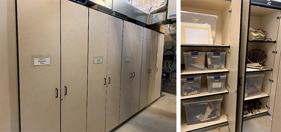
Our programming cabinets contain a treasure trove of interesting props.
Before I got too ahead of myself, I wanted to make sure this program was possible. Remember, I was only creating this to gain my certification. I didn’t have weeks to research how this would work; I had to have it ready to present before the course was over—a total of four days! So I went to the storage room in the fort’s visitor center, opened the doors to the “programming” cabinets, and sifted through our belongings. I knew my program needed to be done with minimal materials and also had some time restrictions. I wanted to create a game of survival based on the accuracy of the participants’ classmates. I didn’t have insight into the interpretive budget, but I wanted to make it doable for future use. I found some copies of the maps from the expedition in the props cabinet to use as a reference as well as clipboards to hold blank pieces of paper for the participants to create their own content.
Step 4: Now the foundation is laid, it’s time to start building.
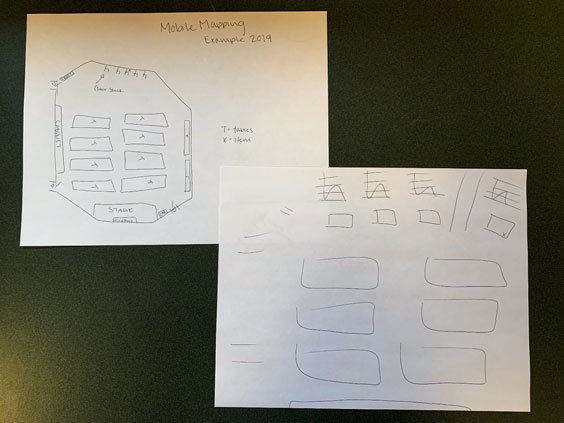
Mock maps produced for my interpretive program on mobile mapping.
Since the program dealt with a component of navigation, I decided the fort’s front lawn would be the best location for it. While it wasn’t possible to have the prospective participants get in a boat to simulate dead reckoning on water, I could have them moving away or toward a marked location to create their dead reckoning map.
I then had to figure out how participants would understand the importance of accuracy when it came to caching items for the return trip. I realized the only way to facilitate the search would be to split the participants into two groups: map makers and item finders. I would have the map makers work with time restrictions, while the item finders lingered at a distance. Once the map makers ran out of time, the item finders would then be given the maps and told to search for the hidden items, which were key to their survival. If they were not successful in finding the items in the allotted time, the item finders would unfortunately perish in the game.
Step 5: Can I actually pull this off?
Our interpreters love hosting students and sharing their knowledge of the Lewis and Clark Expedition.
Now I had to have the other aspiring interpreters in my class participate in my program to gain my certification. I had one group go out into the fort’s visitor center while the second group hid their items in the classroom. I then gave them one minute to survey the room and four minutes to draw a map without looking up. The first group of interpreters came back into the room and were handed the maps from the second group. They were given one minute to find the hidden items based on their opposing group’s maps; the goal was to find the hidden items needed to survive. None of them were able to find them.
While I created this program for a certification, we use aspects of it to this day at the Interpretive Center and at Fort Mandan. Unfortunately due to the pandemic, we weren’t able to run the program during the 2020 and 2021 summer seasons, but I have been developing it into an online program to deliver to schools during virtual field trips. Since we are currently in our off-season, we are hard at work on content for the upcoming 2022 summer season. In addition to my mobile mapping program, we are also adapting existing programs on the fur trade, the expedition, and Native American sports and games into virtual presentations, as well as creating new programs that can be delivered both virtually and in-person on topics such as plant and animal identification.
We look forward to welcoming your school group soon!