Benefits of Volunteering at the North Dakota Heritage Center & State Museum: Making Our Community A Better Place
While doing research for a recent project, I stumbled across a website that proposes that the act of volunteering has numerous health benefits, both physical and mental.
The website goes into specific detail:
- 76% of people who answered a recent survey indicated that volunteering made them feel healthier
- 94% said volunteering improved their mood
- 96% said volunteering enriched their sense of purpose
- 95% said by volunteering, they were making their community a better place
- 80% felt they had more control over their mental health and depression
- 78% said volunteering lowered their stress levels
- 49% said it helped their career in the paid job market
- 56% said it helped their careers
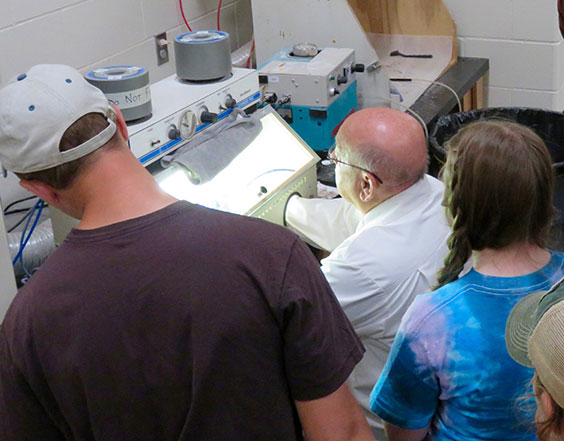
A volunteer at the Paleontology lab working while a tour of students looks on.
According to Beth Campbell, Visitor Services coordinator for the State Historical Society of North Dakota, volunteers are a large part of the agency’s success. She said there are currently more than 200 Heritage Volunteers working statewide at various sites.
Every summer, a Heritage Volunteer recognition social is held at the North Dakota Heritage Center & State Museum in Bismarck. In the 2017 program from that event, Claudia Berg, agency director, included the following remarks:
“Each and every one of you brings your life experiences, skills, abilities, passion and compassion, intellect, and humor with you when you volunteer … For whatever reason you volunteer, you make a difference to our organization. You give your time generously without expectation of reward … Last year (2017) that time totaled 11,711 volunteer hours. Since the program’s inception in 1981, Heritage Volunteers have donated over 425,764 hours.”
What Claudia didn’t mention is that we volunteers (all 200+ strong) are surely deriving all the benefits detailed in the study quoted above: better moods, sense of purpose, lowered stress levels, and so on.
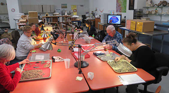
Volunteers working in the Archaeology lab.
I can’t validate the numbers in the study cited above, but I can attest to the following perks of volunteering at the State Historical Society:
- studying dinosaurs with professional paleontologists
- studying artifacts with professional archaeologists
- learning research methods from professional archivists
- learning object preservation from museum preservation experts
- participating in programs developed by the Communications and Education Division
- assisting gallery guides with public presentations
- meeting and interacting with ND Heritage Center visitors from around the world
- building a personal network of other volunteers with similar interests
- spreading the word and recruiting other volunteers
- eating way too many cookies (That should probably be at the top of this list.)
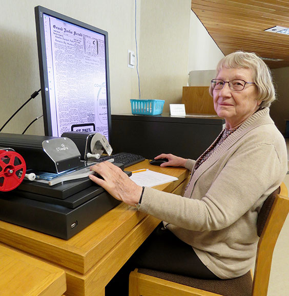
Erlys Fardal has contributed in excess of 6,500 hours of volunteer time at the North Dakota Heritage Center and State Museum.
She is pictured here doing research in the Heritage Center archives division.
I, personally, have had the great satisfaction of logging in excess of 2,000 hours of volunteer time at the ND Heritage Center & State Museum. I have been asked numerous times how I became a volunteer and why I continue to do so.
I am a firm believer in the old adage of “use it or lose it.” While there are physical benefits to volunteering at the ND Heritage Center, (it is a healthful walk from the west visitor entrance to the coffee shop on the east side), I became involved because of my interest in North Dakota history and archaeology and the mental benefits of continued study and research after my retirement. I have to admit that the first step was a little scary. I came from a profession far removed from history and archaeology. My early apprehension quickly dissipated after working with staff members. They were willing to share their knowledge and expertise in a manner that was neither threatening nor discouraging. After 2,000 hours, I am just getting a good start.
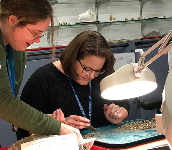
Volunteer working in the Archaeology lab.
As Claudia mentioned in her quote above, we all come to the State Historical Society with our own “life experiences, skills, abilities, passion and compassion, intellect and humor.” The ND Heritage Center is a great place to enhance all of those qualities. In addition, our moods have improved, our stress levels have diminished, we have contributed to the community, and our experience and knowledge has continued to grow.
If you are interested in becoming a volunteer for the State Historical Society of North Dakota, contact Beth Campbell, Visitor Services coordinator, at bcampbell@nd.gov or give her a call at 701-328-2674. She will get you pointed in the direction that most suits you and your skills and passions.
“Volunteering is the ultimate exercise in democracy. You vote in elections once a year, but when you volunteer, you vote every day about the kind of community you want to live in.” (Author Unknown)


